


Monsoon mechanics: civil engineers look for answers in the Bay of Bengal


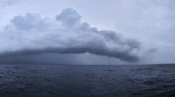
Off the southwestern coast of India, a pool of unusually warm water forms, reaching 100 feet below the surface. Soon after, the air above begins to churn, triggering the summer monsoon season with its life-giving yet sometimes catastrophic rains.
To better understand the link between the formation of the warm pool and the monsoon’s onset, five members of the University of Notre Dame’s Environmental Fluid Mechanics Laboratory set sail into the Bay of Bengal aboard the Thomas G. Thompson, a 274-foot vessel for oceanographic research.
Their research is part of a larger initiative called The Arabian Sea Transition Layer (ASTraL), sponsored by the Office of Naval Research. ASTraL’s PI is Notre Dame’s fluid dynamics expert Harindra Joseph Fernando, Wayne and Diana Murdy Endowed Professor of Engineering and Geosciences. ASTraL conducted a pilot field campaign in 2023, with full-scale campaigns following in 2024 and 2025.
While the sailing ships that once plied these waters sought spices, silk and porcelain, the Thompson seeks data—lots of it.
To explain how the summer monsoon’s engine gets started, the team gathers data from the “transition layer”—where the ocean’s spray, turbulence, current and evaporation meets the atmosphere’s solar radiation, wind and humidity.

Contemporary monsoon data collection has become a comprehensive, multi-platform enterprise, integrating remote sensing technologies like radar and satellites with vessel-launched weather balloons—a technology first used in the 1800s.
“Data is only as good as the equipment that collects it,” said Senior Research Engineer Scott Coppersmith. “My job is to get the equipment set up, make sure it’s working properly, and fix anything that breaks.”
For this research voyage, three shipping containers—massive rectangular steel boxes usually seen on the back of semis or stacked on tankers—were packed full of equipment and shipped from Notre Dame’s campus to the Mississippi Gulf Coast, then on to Phuket, Thailand, where the team was waiting. Instead, the equipment containers wound up in Singapore.
“After a week of waiting, our ship—also delayed—finally docked in Phuket,” said Coppersmith. “We’ve got a crane, and all the equipment is ready to set up. That’s when the storms rolled in—one after the next.”

“The waves were 15 feet high. The ship was fine, but all our equipment, along with anybody trying to set it up, was getting drenched with salt water,” said Coppersmith. The spray soaked through the protective layer of tape and boxes, starting fires and melting electrical cords, requiring immediate repairs to keep the data collection going.
Luckily, not all the equipment installation was subject to the vagaries of weather and international shipping. Years before, the team had adapted the typically land-based Doppler lidar and radar machines for use at sea.
“Lidar scans the clouds for temperature and wind direction,” said Coppersmith. “You send up a beam, and ideally it comes back to the same spot—that’s how you measure it. On a ship that’s pitching up and down, you send your beam up, it might come down somewhere else. So I built a stabilization platform, basically a gimbal—so when the ship is moving around, this guy [he points to the 3-by-5-foot machine] remains stable.”
A similar platform had to be built for a 750-lb., high-frequency radar, which measures the size, shape and speed of water droplets in clouds to determine their microphysical properties—critical small-scale information for weather and climate models.
While on board the Thompson, the team successfully collected terabytes of data from an array of atmospheric instruments, such as the radar and lidar machines mentioned above, as well as from oceanic instruments such as wavegliders and weather station buoys.
At the end of the voyage, the scientists and engineers shared and cross referenced their data. Once its accuracy is verified, it will be used to model the mechanics driving the summer monsoon—a weather event responsible for supplying nearly eighty percent of Southeast Asia’s water needs.
“The Thompson voyages have provided unprecedented information on air-sea interactions during the Indian summer monsoons,” said Fernando. “The results of this research will help us understand the underlying physics and more accurately predict when, where and how these weather patterns begin and travel.”

Members of Notre Dame’s Environmental Fluid Dynamics Group and the Naval
Research Laboratory Group aboard the Thomas G. Thompson.
—Karla Cruise, Notre Dame Engineering; Photos and video courtesy of Selina Bolella and Scott Coppersmith
Originally published by at environmentalchange.nd.edu on September 15, 2025.
Latest Research
- Notre Dame’s seventh edition of Race to Revenue culminates in Demo Day, a celebration of student and alumni entrepreneurship…
- Managing director brings interdisciplinary background to Bioengineering & Life Sciences InitiativeThis story is part of a series of features highlighting the managing directors of the University's strategic initiatives. The managing directors are key (senior) staff members who work directly with the…
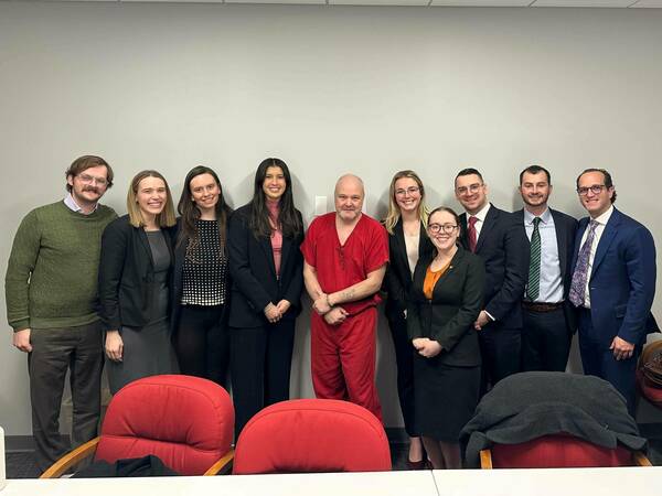
- Exoneration Justice Clinic Victory: Jason Hubbell’s 1999 Murder Conviction Is VacatedThis past Friday, September 12, Bartholomew County Circuit Court Judge Kelly S. Benjamin entered an order vacating Exoneration Justice Clinic (EJC) client Jason Hubbell’s 1999 convictions for murder and criminal confinement based on the State of Indiana’s withholding of material exculpatory evidence implicating another man in the murder.
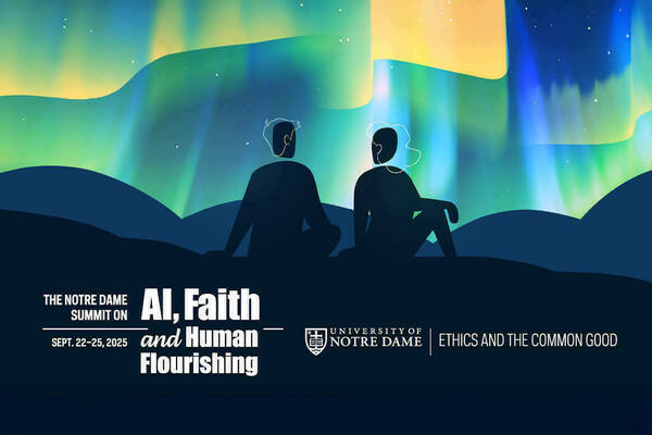
- Notre Dame to host summit on AI, faith and human flourishing, introducing new DELTA frameworkThe Institute for Ethics and the Common Good and the Notre Dame Ethics Initiative will host the Notre Dame Summit on AI, Faith and Human Flourishing on the University’s campus from Monday, Sept. 22 through Thursday, Sept. 25. This event will draw together a dynamic, ecumenical group of educators, faith leaders, technologists, journalists, policymakers and young people who believe in the enduring relevance of Christian ethical thought in a world of powerful AI.
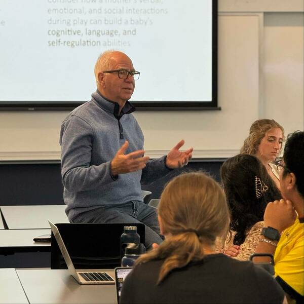
- Preparing Global Leaders: Notre Dame Students Put Early Childhood Development Science into PracticeThis fall, Notre Dame students are turning research into real-world solutions. In a unique course, Early Childhood Development and Poverty Alleviation: A Global Perspective, 27 students are learning how the science of early childhood development can break cycles of poverty — and then applying…
- How can we have better conversations about environmental conservation? New Notre Dame research charts a path.As the planet faces mounting environmental crises, including a decline in global biodiversity, a new study from the University of Notre Dame calls for a seemingly simple yet transformative practice: better conversations. In a co-authored paper published in Conservation Biology, Daniel C. Miller outlines five key principles to foster more effective and inclusive dialogue about conservation. The paper builds on more than a decade of collaborative work in conservation social science and presents a framework to address one of the field’s most pressing yet underexamined issues—how conservationists talk to one another.